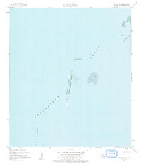
1951 Map of Freemason Island
USGS Topo · Published 1963About this map
Freemason Island and the surrounding barrier landscape appear here as they were charted in the early 1950s, a period when these shifting sands formed a critical part of the Breton National Wildlife Refuge. Situated within the vast Chandeleur Sound, the island is part of a delicate chain of landforms including the North Islands and Old Harbor Island Shoal.
Find a feature on this map
9 named features on this map. Tap any name to fly to it.
Don’t see what you’re looking for? This feature index may not catch every label — zoom into the map to look around manually.
Map Details
Editions of this 1951 Freemason Island Map
3 editions found
Other maps of this area

1893 · Chandeleur
USGS Topo · 1:62,500

1951 · North Islands
USGS Topo · 1:24,000

1951 · New Harbor Islands
USGS Topo · 1:24,000
1951 · Stake Islands
USGS Topo · 1:24,000
1951 · Freemason Island
USGS Topo · 1:24,000

1957 · Breton Sound
USGS Topo · 1:250,000

1961 · Breton Sound
USGS Topo · 1:250,000

1982 · North Islands
USGS Topo · 1:100,000
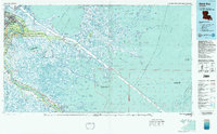
1983 · Black Bay
USGS Topo · 1:100,000
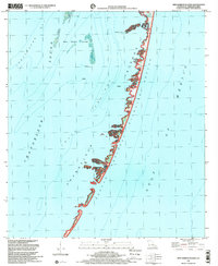
1998 · New Harbor Islands
USGS Topo · 1:24,000