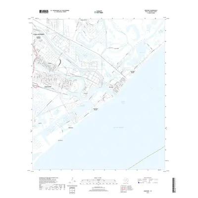
2019 Map of Freeport
USGS Topo · Published 2019About this map
Freeport and its surrounding coastal settlements are documented here at a time of significant industrial and maritime activity along the Texas Gulf Coast. The landscape is defined by the complex hydrology of the Old Brazos River and the Freeport Harbor Channel, which facilitate the region's deep-water commerce. The map provides a detailed look at the historic community of Velasco and its modern extension, Velasco Heights, alongside the residential blocks of Lake Jackson.
Find a feature on this map
146 named features on this map. Tap any name to fly to it.
Don’t see what you’re looking for? This feature index may not catch every label — zoom into the map to look around manually.
Map Details
Editions of this 2019 Freeport Map
This is the sole edition of this map. No revisions or reprints were ever made.
Other maps of this area

1943 · Oyster Creek
USGS Topo · 1:31,680

1943 · Jones Creek
USGS Topo · 1:31,680

1943 · Freeport
USGS Topo · 1:31,680

1943 · Cedar Lakes East
USGS Topo · 1:24,000

1943 · Christmas Point
USGS Topo · 1:24,000

1943 · Snipe
USGS Topo · 1:31,680

1950 · Houston
USGS Topo · 1:250,000

1951 · Bay City
USGS Topo · 1:250,000

1956 · Houston
USGS Topo · 1:250,000

1956 · Bay City
USGS Topo · 1:250,000