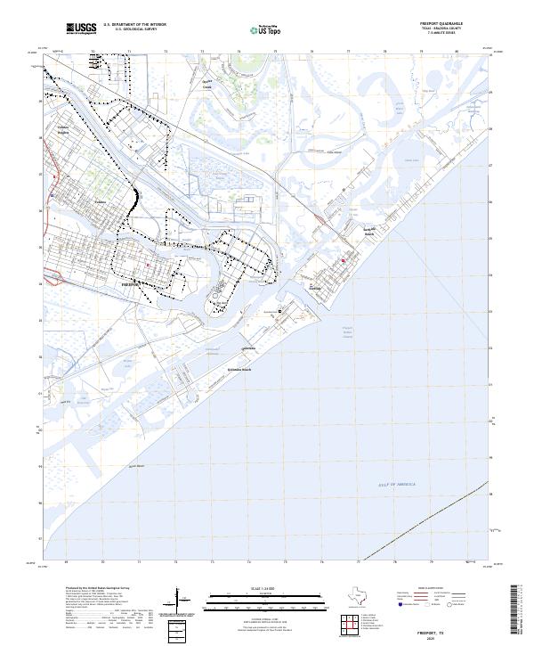
2025 Map of Freeport
USGS Topo · Published 2025About this map
The industrial and maritime landscape of the Texas Gulf Coast takes center stage here, where the Old Brazos River meets the complex network of the Intracoastal Waterway. The urban core of Freeport and the historic neighborhood of Velasco are defined by their proximity to massive deep-water infrastructure, including the Brazosport Turning Basin and the Stauffer Turning Basin. This area reflects a mid-20th-century evolution from a river-mouth port to a major petrochemical hub, with the Dow Chemical Plant and its associated canals and levees dominating the northern reaches.
Find a feature on this map
152 named features on this map. Tap any name to fly to it.
Don’t see what you’re looking for? This feature index may not catch every label — zoom into the map to look around manually.
Map Details
Editions of this 2025 Freeport Map
This is the sole edition of this map. No revisions or reprints were ever made.
Other maps of this area

1943 · Oyster Creek
USGS Topo · 1:31,680

1943 · Jones Creek
USGS Topo · 1:31,680

1943 · Freeport
USGS Topo · 1:31,680

1943 · Cedar Lakes East
USGS Topo · 1:24,000

1943 · Christmas Point
USGS Topo · 1:24,000

1943 · Snipe
USGS Topo · 1:31,680

1950 · Houston
USGS Topo · 1:250,000

1951 · Bay City
USGS Topo · 1:250,000

1956 · Houston
USGS Topo · 1:250,000

1956 · Bay City
USGS Topo · 1:250,000