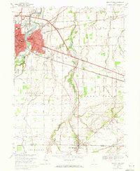
1969 Map of Fremont East
USGS Topo · Published 1971About this map
The Sandusky River carves through the landscape of northern Ohio, centering on the city of Fremont as it appeared in the late 1960s. This survey highlights the complex infrastructure of a growing regional hub, featuring the winding river around Bradys Island and a dense network of civic and educational institutions such as the School of Hope and St Francis of Oak Ridge Hospital. The presence of the Old Indian Treaty Boundary cutting across the terrain serves as a significant historical marker of early land division and westward expansion.
Find a feature on this map
59 named features on this map. Tap any name to fly to it.
Don’t see what you’re looking for? This feature index may not catch every label — zoom into the map to look around manually.
Map Details
Editions of this 1969 Fremont East Map
2 editions found
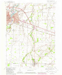
Other maps of this area

1901 · Bellevue
USGS Topo · 1:62,500

1901 · Fremont
USGS Topo · 1:62,500

1903 · Bellevue
USGS Topo · 1:62,500

1903 · Fremont
USGS Topo · 1:62,500

1906 · Tiffin
USGS Topo · 1:62,500

1915 · Siam
USGS Topo · 1:62,500

1956 · Toledo
USGS Topo · 1:250,000
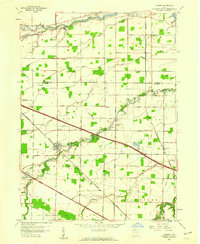
1957 · Lindsey
USGS Topo · 1:24,000

1957 · Vickery
USGS Topo · 1:24,000
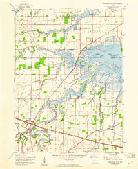
1957 · Wightmans Grove
USGS Topo · 1:24,000