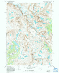
1968 Map of Fremont Peak South
USGS Topo · Published 1993About this map
The Continental Divide winds through the heart of the Wind River Range in this high-altitude 1968 survey of Fremont and Sublette Counties. The landscape is defined by its glacial remnants and severe terrain, featuring the Bull Lake Glacier, Knife Point Glacier, and Harrower Glacier clinging to the flanks of peaks like Fremont Peak and Jackson Peak. This area serves as a significant intersection of protected wilderness, where the boundaries of the Bridger Wilderness and Fitzpatrick Wilderness meet along the crest. A network of high-country routes, including the Indian Pass Trail and High Line Trail, provides the only passage through this lake-strewn environment. The map details a complex hydrology feeding the Middle Fork and Bull Lake Creek, originating from high basins such as the Bald Mountain Basin and Indian Basin.
Find a feature on this map
48 named features on this map. Tap any name to fly to it.
Don’t see what you’re looking for? This feature index may not catch every label — zoom into the map to look around manually.
Map Details
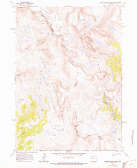
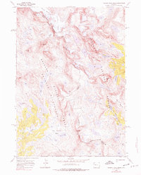
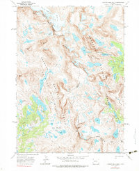
Editions of this 1968 Fremont Peak South Map
4 editions found
Other maps of this area

1909 · Fremont Peak
USGS Topo · 1:125,000

1938 · Mt Bonneville
USGS Topo · 1:62,500

1941 · Mt Bonneville
USGS Topo · 1:62,500

1942 · Mt Bonneville
USGS Topo · 1:62,500

1952 · Bob Lakes
USGS Topo · 1:24,000

1952 · Alpine Lake
USGS Topo · 1:24,000

1955 · Thermopolis
USGS Topo · 1:250,000

1955 · Lander
USGS Topo · 1:250,000

1958 · Lander
USGS Topo · 1:250,000

1958 · Thermopolis
USGS Topo · 1:250,000