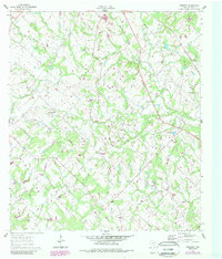
1960 Map of Frenstat
USGS Topo · Published 1989About this map
Frenstat serves as a focal point in this 1960s-era landscape of Burleson County, where rural life is defined by a dense network of meandering waterways. The topography is marked by several active Oil Field sites, illustrating the mid-century petroleum development that intersected with long-standing agricultural land. Named settlements like Harmony and Birch are connected by a web of light-duty roads and unimproved tracks, while family-history markers such as the Beard Cem suggest the area's deep-rooted community history.
Find a feature on this map
16 named features on this map. Tap any name to fly to it.
Don’t see what you’re looking for? This feature index may not catch every label — zoom into the map to look around manually.
Map Details
Editions of this 1960 Frenstat Map
2 editions found
Other maps of this area

1919 · Dime Box
USGS Topo · 1:62,500

1954 · Austin
USGS Topo · 1:250,000

1956 · Caldwell
USGS Topo · 1:62,500

1956 · Milano
USGS Topo · 1:62,500

1956 · Somerville
USGS Topo · 1:62,500

1959 · Flag Pond
USGS Topo · 1:24,000

1959 · Somerville
USGS Topo · 1:24,000
1959 · Dime Box
USGS Topo · 1:24,000

1960 · Lyons
USGS Topo · 1:24,000
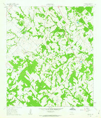
1960 · Frenstat
USGS Topo · 1:24,000