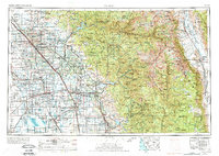
1962 Map of Fresno
USGS Topo · Published 1974About this map
The Sierra Nevada mountain range dominates the eastern half of this landscape, rising to the peak of Mount Whitney and encompassing the protected wilderness of Kings Canyon National Park and Sequoia National Park. To the west, the fertile basin of the San Joaquin Valley shows an intensive agricultural and industrial grid, marked by the operations of numerous Cotton gins and an extensive irrigation network including the Friant-Kern Canal and Madera Canal.
Find a feature on this map
195 named features on this map. Tap any name to fly to it.
Don’t see what you’re looking for? This feature index may not catch every label — zoom into the map to look around manually.
Map Details
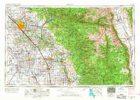
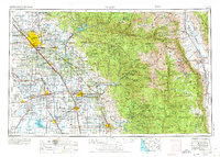
Editions of this 1962 Fresno Map
3 editions found
Other maps of this area

1903 · Tehipite
USGS Topo · 1:125,000

1904 · Kaiser
USGS Topo · 1:125,000

1904 · Kaweah
USGS Topo · 1:125,000

1905 · Tehipite
USGS Topo · 1:125,000

1905 · Olancha
USGS Topo · 1:125,000

1905 · Fairview
USGS Topo · 1:24,000

1906 · Kernville
USGS Topo · 1:125,000

1907 · Olancha
USGS Topo · 1:125,000

1907 · Mt. Whitney
USGS Topo · 1:125,000

1908 · Lida
USGS Topo · 1:250,000