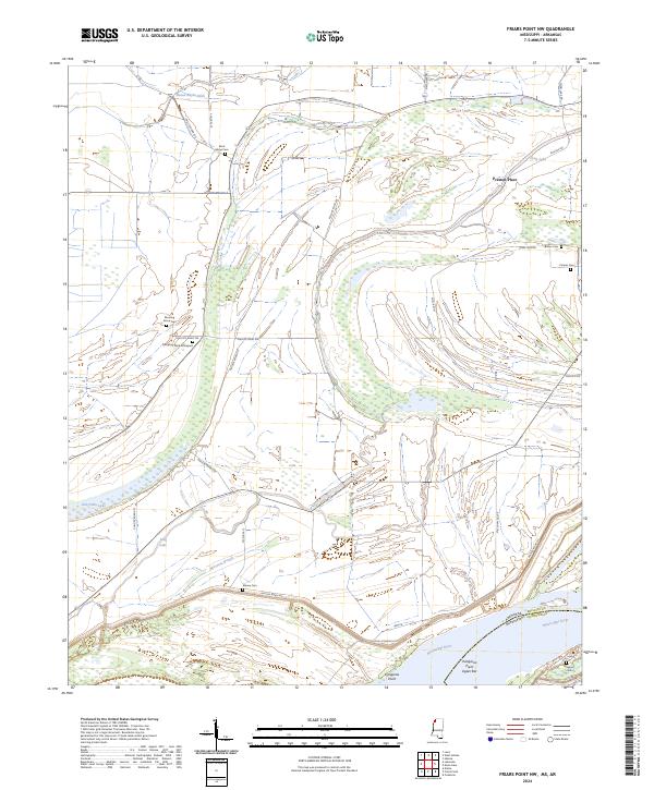
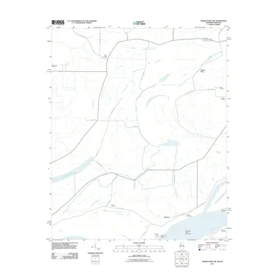
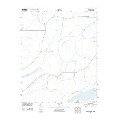
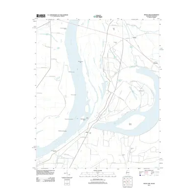
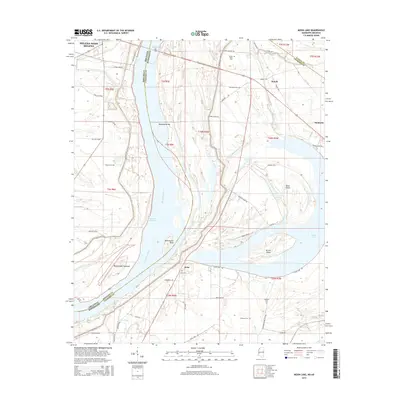
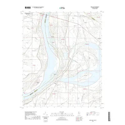
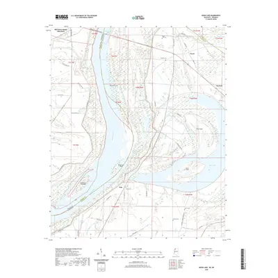
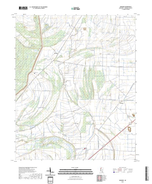
2024 Map of Friars Point NW
USGS Topo · Published 2024About this map
The Mississippi River forms the state boundary between Arkansas and Mississippi, cutting through a landscape of alluvial features and complex water systems in Phillips and Coahoma counties. This delta region is characterized by remnant water bodies like Old Town Lake, Long Lake, and the Missouri Slough, which trace the former paths of the river. The presence of numerous small, family-linked burial sites such as Campbell Place Graveyard and Brown Cem, alongside the Preston Place settlement, suggests a history of localized agricultural estates and community clusters that have persisted through modern topographical changes.
Find a feature on this map
42 named features on this map. Tap any name to fly to it.
Don’t see what you’re looking for? This feature index may not catch every label — zoom into the map to look around manually.
Map Details
Editions of this 2024 Friars Point NW Map
This is the sole edition of this map. No revisions or reprints were ever made.
Historical Maps of Friars Point Through Time
27 maps found

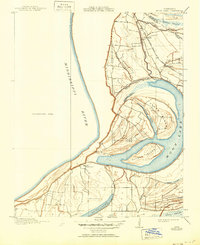
1908 Moon Lake
Coahoma County, MS
1912 Moon Lake
Coahoma County, MS
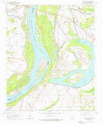
1964 Moon Lake
Coahoma County, MS

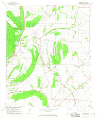
1967 Mattson
Coahoma County, MS
1967 Sherard
Coahoma County, MS
2011 Friars Point NW
Coahoma County, MS
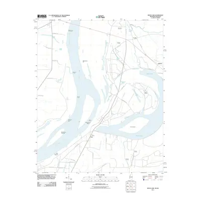
2011 Moon Lake
Coahoma County, MS
2012 Friars Point NW
Coahoma County, MS
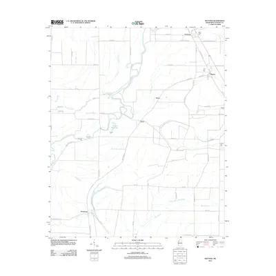
2012 Mattson
Coahoma County, MS
2012 Moon Lake
Coahoma County, MS
2012 Sherard
Coahoma County, MS
2015 Friars Point NW
Coahoma County, MS
2015 Mattson
Coahoma County, MS
2015 Moon Lake
Coahoma County, MS
2015 Sherard
Coahoma County, MS
2018 Friars Point NW
Coahoma County, MS
2018 Mattson
Coahoma County, MS
2018 Moon Lake
Coahoma County, MS
2018 Sherard
Coahoma County, MS
2020 Friars Point NW
Coahoma County, MS
2020 Mattson
Coahoma County, MS
2020 Moon Lake
Coahoma County, MS
2020 Sherard
Coahoma County, MS
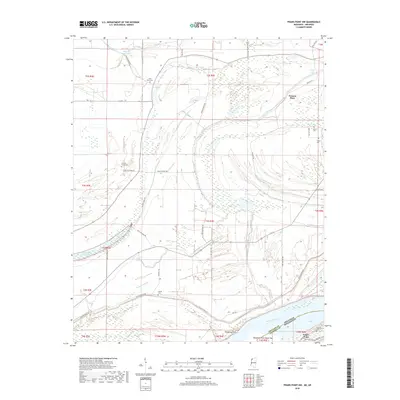
2024 Friars Point NW
Coahoma County, MS
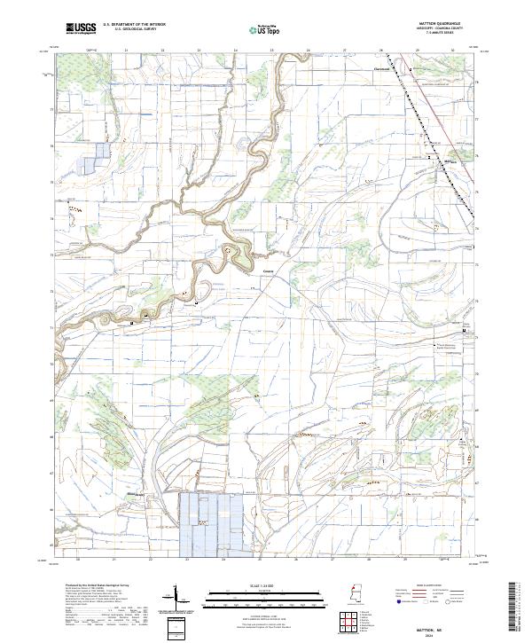
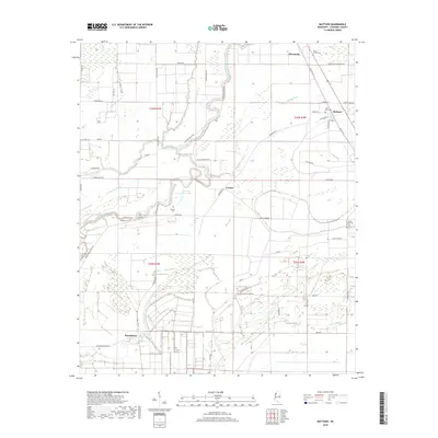
2024 Mattson
Coahoma County, MS
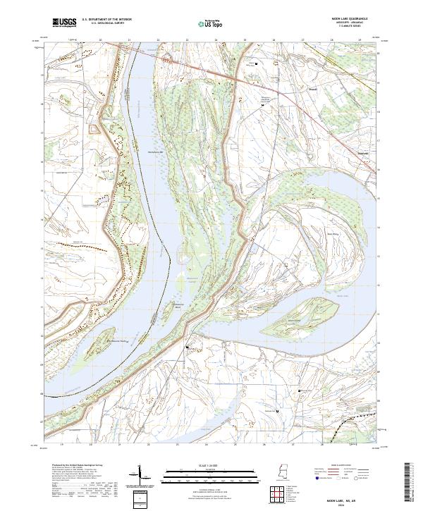
2024 Moon Lake
Coahoma County, MS
2024 Sherard
Coahoma County, MS