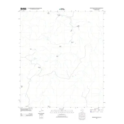
2012 Map of Friend Mountain
USGS Topo · Published 2012About this map
The Davis Mountains define this high-altitude landscape in West Texas, where water sources are vital landmarks for local ranching operations. Significant topographical features include the namesake Friend Mtn and the evocatively named Robbers Roost Mtn, connected by a network of drainage systems like Cherry Cr. The map documents a scattered system of infrastructure built to capture scarce water, including Water Reed Tank, Hole Tank, and Friend Mountain Tank.
Find a feature on this map
19 named features on this map. Tap any name to fly to it.
Don’t see what you’re looking for? This feature index may not catch every label — zoom into the map to look around manually.
Map Details
Editions of this 2012 Friend Mountain Map
This is the sole edition of this map. No revisions or reprints were ever made.
Other maps of this area

1894 · Valentine
USGS Topo · 1:125,000

1894 · Fort Davis
USGS Topo · 1:125,000

1897 · Valentine
USGS Topo · 1:125,000

1897 · Fort Davis
USGS Topo · 1:125,000

1943 · Valentine
USGS Topo · 1:125,000

1954 · Fort Stockton
USGS Topo · 1:250,000

1958 · Fort Stockton
USGS Topo · 1:250,000

1959 · Marfa
USGS Topo · 1:250,000

1965 · Marfa
USGS Topo · 1:250,000

1972 · Casket Mountain
USGS Topo · 1:24,000