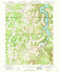
1947 Map of Friendsville
USGS Topo · Published 1971About this map
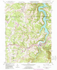
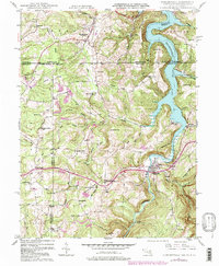
Friendsville and the winding Youghiogheny River anchor this 1947 survey of the Maryland-Pennsylvania borderlands. This era captures the region as the Youghiogheny Reservoir begins to dominate the northern valley, submerging older riverbanks below Umber Hill. The map reveals a deeply rooted rural landscape defined by ridge-top settlements and creek-bottom communities, where landmarks like Great Crossing Ch and Selbysport mark the historical transit corridors.
Find a feature on this map
66 named features on this map. Tap any name to fly to it.
Don’t see what you’re looking for? This feature index may not catch every label — zoom into the map to look around manually.
Map Details
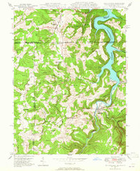
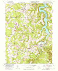
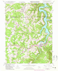
Editions of this 1947 Friendsville Map
6 editions found
Other maps of this area

1900 · Accident
USGS Topo · 1:62,500

1900 · Uniontown
USGS Topo · 1:62,500

1904 · Bruceton
USGS Topo · 1:62,500

1922 · Confluence
USGS Topo · 1:62,500

1926 · Bruceton
USGS Topo · 1:62,500

1931 · Uniontown
USGS Topo · 1:62,500

1931 · Confluence
USGS Topo · 1:62,500

1931 · Bruceton Mills
USGS Topo · 1:62,500

1933 · Confluence
USGS Topo · 1:62,500

1933 · Bruceton
USGS Topo · 1:62,500