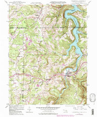
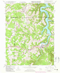
1947 Map of Friendsville
USGS Topo · Published 1998About this map
The Youghiogheny River carves through this tri-state borderland, where the Mason And Dixon Line meets the intersection of Maryland, Pennsylvania, and West Virginia. This mid-century landscape reflects a dispersed settlement pattern centered around Friendsville and Markleysburg, with the massive Youghiogheny River Lake dominating the eastern terrain. The map provides a detailed view of a rural society sustained by neighborhood landmarks, including Webb Chapel, Blooming Rose Ch, and several small rural schools like McCabe Sch and South Avenue Sch.
Find a feature on this map
54 named features on this map. Tap any name to fly to it.
Don’t see what you’re looking for? This feature index may not catch every label — zoom into the map to look around manually.
Map Details
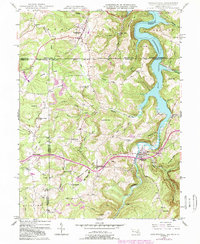
Editions of this 1947 Friendsville Map
6 editions found
Other maps of this area

1900 · Accident
USGS Topo · 1:62,500

1900 · Uniontown
USGS Topo · 1:62,500

1904 · Bruceton
USGS Topo · 1:62,500

1922 · Confluence
USGS Topo · 1:62,500

1926 · Bruceton
USGS Topo · 1:62,500

1931 · Uniontown
USGS Topo · 1:62,500

1931 · Confluence
USGS Topo · 1:62,500

1931 · Bruceton Mills
USGS Topo · 1:62,500

1933 · Confluence
USGS Topo · 1:62,500

1933 · Bruceton
USGS Topo · 1:62,500