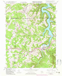
1947 Map of Friendsville
USGS Topo · Published 1982About this map
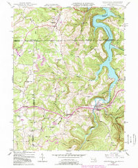
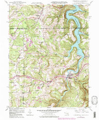
The Mason and Dixon Line serves as the focal point of this interstate survey, where the borders of Maryland, Pennsylvania, and West Virginia converge. The landscape is defined by the winding course of the Youghiogheny River Lake, which flooded the valley following the mid-century damming of the Youghiogheny River. Along the western banks, the historic National Road cuts across the northern terrain near Markleysburg, while the town of Friendsville anchors the southern river reach.
Find a feature on this map
59 named features on this map. Tap any name to fly to it.
Don’t see what you’re looking for? This feature index may not catch every label — zoom into the map to look around manually.
Map Details
Editions of this 1947 Friendsville Map
6 editions found
Other maps of this area

1900 · Accident
USGS Topo · 1:62,500

1900 · Uniontown
USGS Topo · 1:62,500

1904 · Bruceton
USGS Topo · 1:62,500

1922 · Confluence
USGS Topo · 1:62,500

1926 · Bruceton
USGS Topo · 1:62,500

1931 · Uniontown
USGS Topo · 1:62,500

1931 · Confluence
USGS Topo · 1:62,500

1931 · Bruceton Mills
USGS Topo · 1:62,500

1933 · Confluence
USGS Topo · 1:62,500

1933 · Bruceton
USGS Topo · 1:62,500