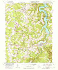
1947 Map of Friendsville
USGS Topo · Published 1975About this map
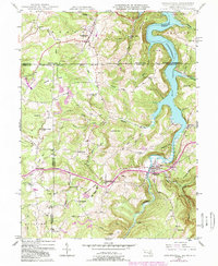
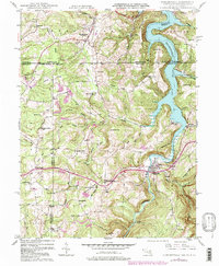
Friendsville serves as a focal point in this tri-state borderland where Maryland, Pennsylvania, and West Virginia converge along the Mason and Dixon Line. The landscape is dominated by the winding course of the Youghiogheny River Lake, with blue hatching indicating areas subject to controlled inundation. Local history is deeply etched into the terrain through family-named landmarks like Thomas Ridge, Frazee Ridge, and Emberson Hill. The map reveals a robust mid-century rural infrastructure, documenting numerous one-room schools such as McCabe Sch and Caney Valley Sch, alongside community centers like the Great Crossing Ch. Scattered settlements like Markleysburg and Asher Glade are linked by a network of runs and ridges, including Winding Ridge and Division Ridge, illustrating the settlement patterns of the Alleghenies before modern highway expansion.
Find a feature on this map
62 named features on this map. Tap any name to fly to it.
Don’t see what you’re looking for? This feature index may not catch every label — zoom into the map to look around manually.
Map Details
Editions of this 1947 Friendsville Map
6 editions found
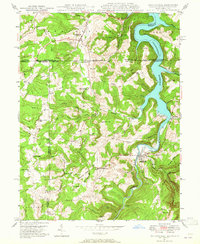
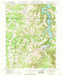
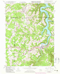
Other maps of this area

1900 · Accident
USGS Topo · 1:62,500

1900 · Uniontown
USGS Topo · 1:62,500

1904 · Bruceton
USGS Topo · 1:62,500

1922 · Confluence
USGS Topo · 1:62,500

1926 · Bruceton
USGS Topo · 1:62,500

1931 · Uniontown
USGS Topo · 1:62,500

1931 · Confluence
USGS Topo · 1:62,500

1931 · Bruceton Mills
USGS Topo · 1:62,500

1933 · Confluence
USGS Topo · 1:62,500

1933 · Bruceton
USGS Topo · 1:62,500