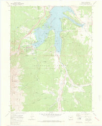
1970 Map of Frisco
USGS Topo · Published 1973About this map
Frisco sits at the western edge of the expansive Dillon Reservoir, a landscape defined by 20th-century water management and the remnants of its mining past. This survey documents the area just after the reservoir's completion, showing the submerged geography of the Snake River Arm and Dillon Bay alongside surviving landmarks like the Dillon Cem. To the south, the valley floor reveals a history of industrial scale work, with extensive Dredge Tailings lining the Blue River and Swan River near Delaware Flats.
Find a feature on this map
68 named features on this map. Tap any name to fly to it.
Don’t see what you’re looking for? This feature index may not catch every label — zoom into the map to look around manually.
Map Details
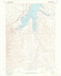
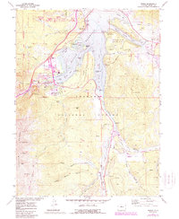
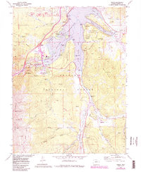
Editions of this 1970 Frisco Map
4 editions found
Other maps of this area

1889 · Leadville
USGS Topo · 1:125,000

1891 · Leadville
USGS Topo · 1:125,000

1924 · Montezuma
USGS Topo · 1:62,500

1926 · Montezuma
USGS Topo · 1:62,500

1929 · Dillon
USGS Topo · 1:62,500

1933 · Montezuma
USGS Topo · 1:62,500

1934 · Climax
USGS Topo · 1:48,000

1934 · Dillon
USGS Topo · 1:62,500

1937 · Como
USGS Topo · 1:62,500

1938 · Mt. Lincoln
USGS Topo · 1:48,000