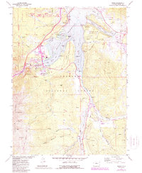
1970 Map of Frisco
USGS Topo · Published 1988About this map
Dillon Reservoir dominates the landscape of this late-century survey, its expansive waters submerging the former floor of the Blue River valley. The map documents the region's transition into a major recreation hub, featuring numerous campsites and boat ramps alongside the town of Frisco. Evidence of the area's hydraulic history remains visible through the Roberts Tunnel and the Glory Hole, while the Old Dillon Reservoir sits perched above the modern shoreline. Along the western edge, the Tenmile Range rises sharply with peaks like Tenmile Peak, contrasting with the industrial traces found at Braddock Flats. This edition is particularly valuable for locating the Masontown (Site) and tracing the original course of the Blue River before it enters the reservoir arm. The presence of the Dillon Cem and County Schools provides essential points of reference for local family history.
Find a feature on this map
76 named features on this map. Tap any name to fly to it.
Don’t see what you’re looking for? This feature index may not catch every label — zoom into the map to look around manually.
Map Details
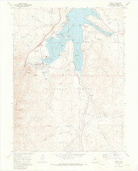
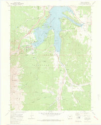
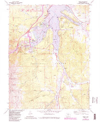
Editions of this 1970 Frisco Map
4 editions found
Other maps of this area

1889 · Leadville
USGS Topo · 1:125,000

1891 · Leadville
USGS Topo · 1:125,000

1924 · Montezuma
USGS Topo · 1:62,500

1926 · Montezuma
USGS Topo · 1:62,500

1929 · Dillon
USGS Topo · 1:62,500

1933 · Montezuma
USGS Topo · 1:62,500

1934 · Climax
USGS Topo · 1:48,000

1934 · Dillon
USGS Topo · 1:62,500

1937 · Como
USGS Topo · 1:62,500

1938 · Mt. Lincoln
USGS Topo · 1:48,000