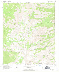
1967 Map of Fritz Canyon
USGS Topo · Published 1971About this map
The Blue River carves a central path through this section of the Apache National Forest, where isolated cattle ranching and rugged drainage systems define the landscape. Small outposts of human activity are centered at Fritz Ranch and Stacy Ranch, with a solitary Grave recorded nearby, indicating the long-standing, sparse settlement of this canyon country. The terrain is marked by numerous water-retention features vital for livestock, such as Piñon Mtn Tank, Wild Bunch Tank, and White Bluff Tank.
Find a feature on this map
50 named features on this map. Tap any name to fly to it.
Don’t see what you’re looking for? This feature index may not catch every label — zoom into the map to look around manually.
Map Details
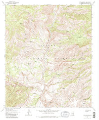
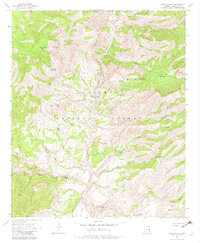
Editions of this 1967 Fritz Canyon Map
3 editions found
Other maps of this area

1902 · Clifton
USGS Topo · 1:62,500

1913 · Morenci
USGS Topo · 1:125,000

1915 · Morenci
USGS Topo · 1:125,000

1954 · Clifton
USGS Topo · 1:250,000

1957 · Clifton
USGS Topo · 1:250,000

1958 · Clifton
USGS Topo · 1:250,000

1962 · Clifton
USGS Topo · 1:250,000

1962 · Clifton
USGS Topo · 1:62,500

1962 · Big Lue Mts
USGS Topo · 1:62,500
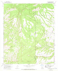
1967 · Alma Mesa
USGS Topo · 1:24,000