
1954 Map of Frogner
USGS Topo · Published 1955About this map
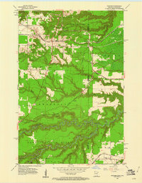
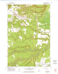
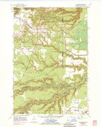
Wrenshall and the borderlands of Carlton and Douglas counties are defined by a complex network of transportation and protected timberlands during the mid-1950s. The landscape transitions from the rugged north, home to Jay Cooke State Park and active Gravel Pits, toward the winding corridor of the Nemadji River and the Nemadji State Forest in the south. Several major rail lines converge here, including the Great Northern and the St Paul Minneapolis and Sault Ste Marie, intersecting near the small settlement of Frogner. Local heritage is anchored by landmarks such as Maccabee Cem and the Foxboro Sch in Foxboro, while an Old Railroad Grade cutting through the western sections suggests an evolving industrial footprint. The terrain is marked by numerous waterways like Mud Creek and Rock Creek, which drain into the deeply incised river valleys that cross the state line.
Find a feature on this map
29 named features on this map. Tap any name to fly to it.
Don’t see what you’re looking for? This feature index may not catch every label — zoom into the map to look around manually.
Map Details
Editions of this 1954 Frogner Map
4 editions found
Other maps of this area

1915 · Superior
USGS Topo · 1:48,000

1917 · Superior
USGS Topo · 1:62,500

1949 · Holyoke
USGS Topo · 1:48,000

1949 · Patzau
USGS Topo · 1:48,000

1953 · Duluth
USGS Topo · 1:250,000

1954 · West Duluth
USGS Topo · 1:24,000

1954 · Cloquet
USGS Topo · 1:24,000

1954 · Borea
USGS Topo · 1:24,000

1954 · Foxboro
USGS Topo · 1:24,000

1954 · Wrenshall
USGS Topo · 1:24,000