
1951 Map of Frogville
USGS Topo · Published 1952About this map
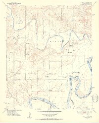
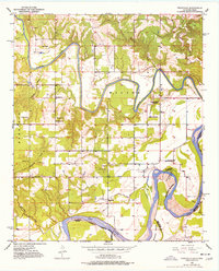
The Kiamichi River snakes through the southern Choctaw County landscape in the early 1950s, creating deep horseshoe bends before it meets the Red River at the Oklahoma-Texas border. This survey captures a rural network of small agricultural communities and family-named landmarks defined by water and woods. The settlement of Frogville serves as a local hub near the Frogville Cem, while to the north, the small community of Huskey sits near the river's edge.
Find a feature on this map
28 named features on this map. Tap any name to fly to it.
Don’t see what you’re looking for? This feature index may not catch every label — zoom into the map to look around manually.
Map Details
Editions of this 1951 Frogville Map
3 editions found
Other maps of this area

1901 · Alikchi
USGS Topo · 1:125,000

1950 · Mcalester
USGS Topo · 1:250,000

1951 · Slate Shoals
USGS Topo · 1:24,000

1951 · Shoals
USGS Topo · 1:24,000

1951 · Kiomatia
USGS Topo · 1:24,000

1951 · Woodland
USGS Topo · 1:24,000

1951 · Manchester
USGS Topo · 1:24,000

1953 · Texarkana
USGS Topo · 1:250,000

1956 · Texarkana
USGS Topo · 1:250,000

1962 · McAlester
USGS Topo · 1:250,000