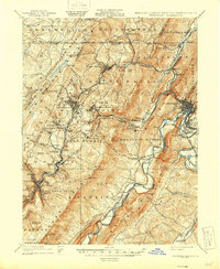
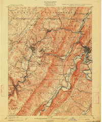
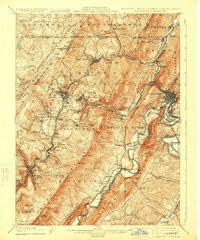
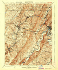
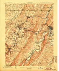
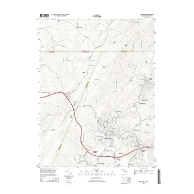
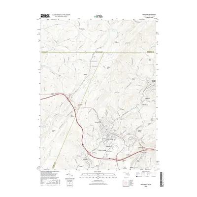
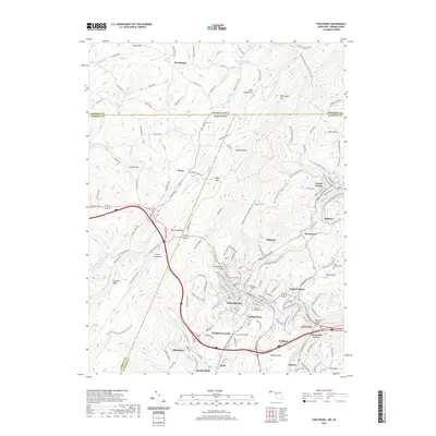
1908 Map of Frostburg
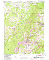
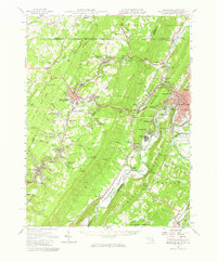
USGS Topo · Published 1946About this map
Georges Creek and Wills Creek define the industrial and coal-mining corridors of this Appalachian landscape at the turn of the century. The map documents a dense network of extraction points and company settlements such as Eckhart Mines, Borden Shaft, Ocean, and Midlothian, all interconnected by the Cumberland and Pennsylvania R. R. and the Western Maryland R. R. The rugged terrain of Big Savage Mountain and Dans Mountain forced human activity into narrow valleys, where the historic National Road and the C. & O. Canal along the Potomac River facilitated the movement of goods. Genealogists can find numerous smaller settlements and junctions, including Carlos Junction, Paradise, and Loartown, which supported the region's burgeoning late-19th-century economy.
Find a feature on this map
109 named features on this map. Tap any name to fly to it.
Don’t see what you’re looking for? This feature index may not catch every label — zoom into the map to look around manually.
Map Details
Editions of this 1908 Frostburg Map
5 editions found

Historical Maps of Cumberland Through Time
14 maps found

1898 Frostburg
Allegany County, MD
1901 Frostburg
Allegany County, MD
1908 Frostburg
Allegany County, MD
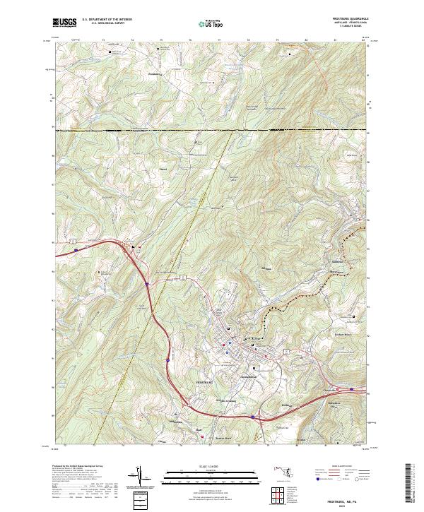
1949 Frostburg
Allegany County, MD
1950 Frostburg
Allegany County, MD
1951 Frostburg
Allegany County, MD
1951 Frostburg
Allegany County, MD
1977 Frostburg
Allegany County, MD
1998 Frostburg
Allegany County, MD
2011 Frostburg
Allegany County, MD
2014 Frostburg
Allegany County, MD
2016 Frostburg
Allegany County, MD
2019 Frostburg
Allegany County, MD
2023 Frostburg
Allegany County, MD