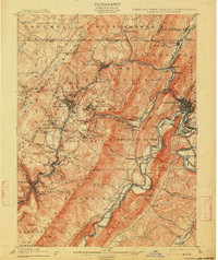
1908 Map of Frostburg
USGS Topo · Published 1914About this map
Frostburg and the surrounding coal-rich hills of Allegany County dominate this late 19th-century survey. The landscape is a complex network of industrial extraction and transportation, with the Cumberland and Pennsylvania R R and Baltimore and Ohio R R winding through tight mountain gaps to serve numerous collieries. Settlements like Eckhart Mines, Midlothian, and Borden Shaft highlight the intensive mining operations of the era, while the historic National Road and the Cumberland and National Turnpike trace the established routes of commerce. To the east, the C & O Canal parallels the North Branch Potomac River near Cumberland River, serving as a vital artery for moving regional resources toward the coast. The topography is defined by the sharp ridges of Big Savage Mountain and Dans Mountain, where prominent landmarks such as Dans Rock overlook the busy valley floors.
Find a feature on this map
130 named features on this map. Tap any name to fly to it.
Don’t see what you’re looking for? This feature index may not catch every label — zoom into the map to look around manually.
Map Details
Editions of this 1908 Frostburg Map
5 editions found
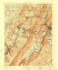
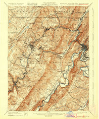
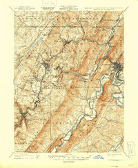
Other maps of this area

1891 · Romney
USGS Topo · 1:125,000

1895 · Piedmont
USGS Topo · 1:125,000

1898 · Frostburg
USGS Topo · 1:62,500

1899 · Flintstone
USGS Topo · 1:62,500

1899 · Grantsville
USGS Topo · 1:62,500

1900 · Flintstone
USGS Topo · 1:62,500

1901 · Frostburg
USGS Topo · 1:62,500

1904 · Grantsville
USGS Topo · 1:62,500

1908 · Frostburg
USGS Topo · 1:62,500

1919 · Elk Garden
USGS Topo · 1:48,000