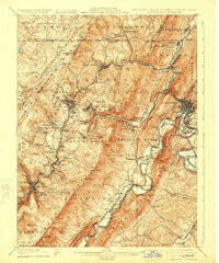
1908 Map of Frostburg
USGS Topo · Published 1924About this map
Frostburg and its surrounding coal-rich ridges dominate this early twentieth-century survey of the Maryland-Pennsylvania borderlands. The landscape is defined by the heavy infrastructure of the era's mining and transport economy, where the National Road and the Cumberland and Pennsylvania R. R. weave through narrow gaps and mountain passes. Industrial sites like Borden Shaft and Eckhart Mines are centers of activity, surrounded by worker settlements such as Midlothian, Ocean, and Carlos.
Find a feature on this map
114 named features on this map. Tap any name to fly to it.
Don’t see what you’re looking for? This feature index may not catch every label — zoom into the map to look around manually.
Map Details
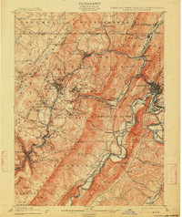
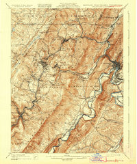
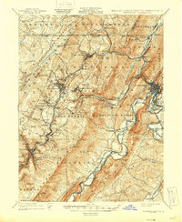
Editions of this 1908 Frostburg Map
5 editions found
Other maps of this area

1891 · Romney
USGS Topo · 1:125,000

1895 · Piedmont
USGS Topo · 1:125,000

1898 · Frostburg
USGS Topo · 1:62,500

1899 · Flintstone
USGS Topo · 1:62,500

1899 · Grantsville
USGS Topo · 1:62,500

1900 · Flintstone
USGS Topo · 1:62,500

1901 · Frostburg
USGS Topo · 1:62,500

1904 · Grantsville
USGS Topo · 1:62,500

1908 · Frostburg
USGS Topo · 1:62,500

1919 · Elk Garden
USGS Topo · 1:48,000