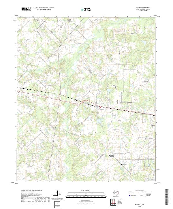
2022 Map of Fruitvale
USGS Topo · Published 2022About this map
Fruitvale and the surrounding Van Zandt County countryside are defined by a network of small family-named cemeteries and winding creeks that crisscross the East Texas landscape. The settlement of Edgewood anchors the western edge, while smaller communities like Small and Lawrence Springs remain connected by an extensive system of county roads. These roads often trace the path of earlier 20th-century routes through the low-lying terrain of Overcup Flat and along the banks of Mill Cr.
Find a feature on this map
115 named features on this map. Tap any name to fly to it.
Don’t see what you’re looking for? This feature index may not catch every label — zoom into the map to look around manually.
Map Details
Editions of this 2022 Fruitvale Map
This is the sole edition of this map. No revisions or reprints were ever made.
Other maps of this area

1956 · Tyler
USGS Topo · 1:250,000

1956 · Emory
USGS Topo · 1:62,500

1958 · Alba
USGS Topo · 1:24,000

1959 · Grand Saline
USGS Topo · 1:24,000

1959 · Van
USGS Topo · 1:24,000

1959 · Grand Saline
USGS Topo · 1:62,500

1959 · Alba
USGS Topo · 1:62,500

1962 · Myrtle Springs
USGS Topo · 1:24,000
1962 · Canton
USGS Topo · 1:24,000
1962 · Edgewood
USGS Topo · 1:24,000