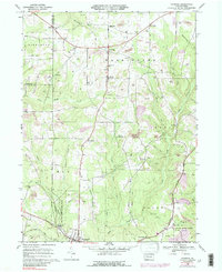
1967 Map of Fryburg
USGS Topo · Published 1988About this map
Oil and gas wells dominate the landscape of northwestern Clarion County, indicating the long-standing industrial character of this region during the late 1960s. The settlement pattern centers on small crossroads such as Fryburg, Marble, and Venus, where local life is anchored by landmarks like St Michaels Sch and several family or community burial grounds including Venus Cem and Dehner Cem. The topography is defined by the incision of Sandy Creek and Licking Creek, which separate the upland drilling sites from the lower valleys.
Find a feature on this map
45 named features on this map. Tap any name to fly to it.
Don’t see what you’re looking for? This feature index may not catch every label — zoom into the map to look around manually.
Map Details
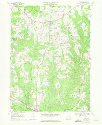
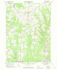
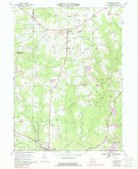
Editions of this 1967 Fryburg Map
4 editions found
Other maps of this area

1906 · Clarion
USGS Topo · 1:62,500

1907 · Clarion
USGS Topo · 1:62,500

1907 · Foxburg
USGS Topo · 1:62,500

1908 · Foxburg
USGS Topo · 1:62,500

1922 · Oil City
USGS Topo · 1:48,000

1922 · Tionesta
USGS Topo · 1:62,500

1924 · Oil City
USGS Topo · 1:62,500

1924 · Tionesta
USGS Topo · 1:62,500

1943 · Oil City
USGS Topo · 1:62,500

1946 · Tionesta
USGS Topo · 1:62,500