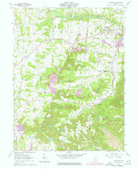
1961 Map of Fultonham
USGS Topo · Published 1977About this map
The Conrail corridor and the rolling hills of the Perry and Muskingum county line define this mid-century landscape. Concentrated along the banks of Jonathan Creek, the community of Fultonham (Uniontown) stands as a primary hub alongside its neighbor, East Fultonham. The presence of numerous extraction sites, including a Strip Mine and a Gravel Pit, underscores the industrial character of the region during this period of development.
Find a feature on this map
44 named features on this map. Tap any name to fly to it.
Don’t see what you’re looking for? This feature index may not catch every label — zoom into the map to look around manually.
Map Details
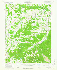
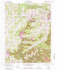
Editions of this 1961 Fultonham Map
Other maps of this area

1907 · Logan
USGS Topo · 1:62,500

1909 · Thornville
USGS Topo · 1:62,500

1909 · Logan
USGS Topo · 1:62,500

1910 · Zanesville
USGS Topo · 1:62,500

1911 · New Lexington
USGS Topo · 1:62,500

1947 · Columbus
USGS Topo · 1:250,000

1961 · Columbus
USGS Topo · 1:250,000

1961 · New Lexington
USGS Topo · 1:24,000

1961 · Deavertown
USGS Topo · 1:24,000

1961 · Zanesville West
USGS Topo · 1:24,000