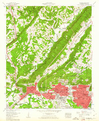
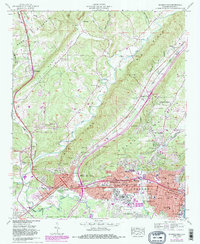
1959 Map of Gadsden
USGS Topo · Published 1961About this map
Gadsden and the industrial corridor of Alabama City dominate the southern landscape of this 1959 survey, situated where the Coosa River bends south of Lookout Mountain. The map illustrates a period of significant post-war urban expansion, showing the proximity of the Southern Railway and Louisville and Nashville RR lines to established neighborhoods like Walnut Park and the commercial center around Union Station. Northward, the terrain transitions into the steep ridges and valleys of Sand Mountain, where smaller rural settlements like Reece City and Rockledge maintain a distinct character away from the city's sprawl.
Find a feature on this map
88 named features on this map. Tap any name to fly to it.
Don’t see what you’re looking for? This feature index may not catch every label — zoom into the map to look around manually.
Map Details
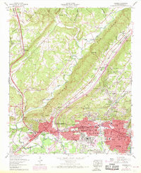
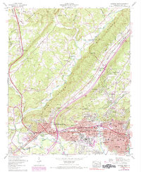
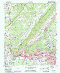
Editions of this 1959 Gadsden Map
5 editions found
Other maps of this area

1885 · Gadsden
USGS Topo · 1:125,000

1888 · Gadsden
USGS Topo · 1:125,000

1889 · Springville
USGS Topo · 1:125,000

1892 · Springville
USGS Topo · 1:125,000

1892 · Gadsden
USGS Topo · 1:125,000

1893 · Fort Payne
USGS Topo · 1:125,000

1895 · Gadsden
USGS Topo · 1:125,000

1898 · Fort Payne
USGS Topo · 1:125,000

1900 · Fort Payne
USGS Topo · 1:125,000

1900 · Anniston
USGS Topo · 1:125,000