
1903 Map of Gadsden
USGS Topo · Published 1903About this map
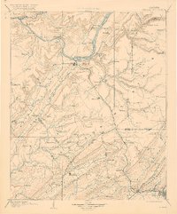
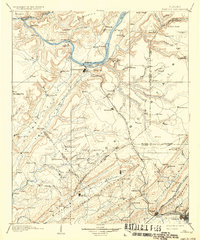
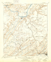
The Tennessee River dominates this north Alabama landscape, curving past Guntersville and supporting a river-based economy of ferries and landings. Before the modern dam systems altered the shoreline, sites like Lovelace Landing, Law Landing, and the Ferry at Warrenton were vital transit points. The topography is defined by the parallel ridges of Gunter Mountain and Sand Mountain, with the Nashville Chattanooga and St. Louis R. R. cutting across the terrain to connect towns like Albertville and Boaz.
Find a feature on this map
162 named features on this map. Tap any name to fly to it.
Don’t see what you’re looking for? This feature index may not catch every label — zoom into the map to look around manually.
Map Details
Editions of this 1903 Gadsden Map
4 editions found
Other maps of this area

1885 · Gadsden
USGS Topo · 1:125,000

1886 · Stevenson
USGS Topo · 1:125,000

1888 · Cullman
USGS Topo · 1:125,000

1888 · Gadsden
USGS Topo · 1:125,000

1888 · Scottsboro
USGS Topo · 1:125,000

1888 · Huntsville
USGS Topo · 1:125,000

1889 · Springville
USGS Topo · 1:125,000

1889 · Birmingham
USGS Topo · 1:125,000

1892 · Cullman
USGS Topo · 1:125,000

1892 · Birmingham
USGS Topo · 1:125,000