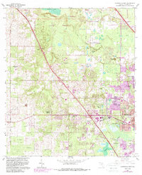
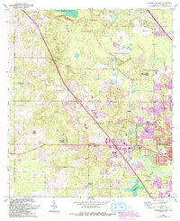
1966 Map of Gainesville West
USGS Topo · Published 1988About this map
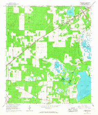
San Felasco Hammock State Preserve and the unique geological formation of Devils Mill Hopper dominate the landscape northwest of Gainesville in this 1966 survey. The map documents a period of suburban expansion into traditional agricultural lands, notably showing the University of Florida Experimental Farm and the University of Florida Agricultural Experimental Station alongside emerging residential developments like Chantilly Acres and Wimberly Estates. Historical traces of the area's rural past remain visible through landmarks such as Mt Nebo Cem and the Arredondo Grant boundary.
Find a feature on this map
50 named features on this map. Tap any name to fly to it.
Don’t see what you’re looking for? This feature index may not catch every label — zoom into the map to look around manually.
Map Details
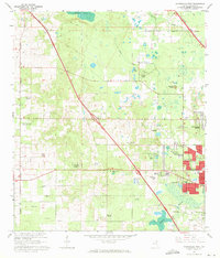
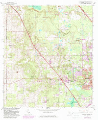
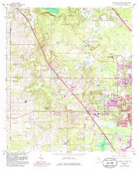
Editions of this 1966 Gainesville West Map
6 editions found
Other maps of this area

1890 · Arredondo
USGS Topo · 1:62,500

1892 · Arredondo
USGS Topo · 1:62,500

1894 · Arredondo
USGS Topo · 1:62,500

1954 · Gainesville
USGS Topo · 1:250,000

1958 · Gainesville
USGS Topo · 1:250,000

1959 · Gainesville
USGS Topo · 1:250,000
1962 · High Springs
USGS Topo · 1:24,000
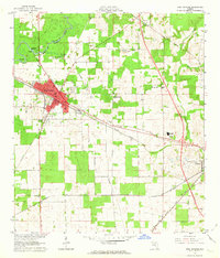
1966 · Micanopy
USGS Topo · 1:24,000
1966 · Gainesville West
USGS Topo · 1:24,000
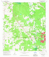
1966 · Arredondo
USGS Topo · 1:24,000