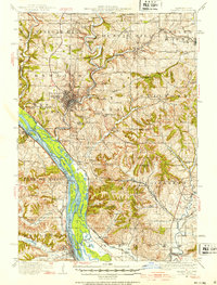
1911 Map of Galena
USGS Topo · Published 1953About this map
The Mississippi River creates a complex borderland of sloughs and islands in this early twentieth-century survey of Jo Daviess County. The landscape is defined by the lead and zinc mining legacy of the region, with the Unity Mine, Northwestern Mine, and Sheboygan Mine situated among the hills north of Galena. Transportation networks are densely packed, featuring the Illinois Central RR and Chicago Great Western RR converging near Galena Junction. The map captures a moment when river commerce and rail power coexisted, noting crossings like Gears Ferry and Gordons Ferry. Numerous rural schools, including Furnace School and Rock College School, are scattered across the townships, reflecting the settled agricultural and industrial character of the area before modern consolidation. Prominent landmarks such as Horseshoe Mound and Pilot Knob rise above the river valley, anchoring the local topography.
Find a feature on this map
100 named features on this map. Tap any name to fly to it.
Don’t see what you’re looking for? This feature index may not catch every label — zoom into the map to look around manually.
Map Details
Editions of this 1911 Galena Map
3 editions found
Other maps of this area

1891 · Maquoketa
USGS Topo · 1:62,500

1892 · Savanna
USGS Topo · 1:62,500

1900 · Lancaster
USGS Topo · 1:125,000

1901 · Peosta
USGS Topo · 1:125,000

1902 · Mineral Point
USGS Topo · 1:125,000

1904 · Lancaster
USGS Topo · 1:125,000

1908 · Lancaster
USGS Topo · 1:125,000

1911 · Elizabeth
USGS Topo · 1:62,500

1911 · Galena
USGS Topo · 1:62,500

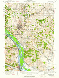
1913 · Galena
USGS Topo · 1:62,500