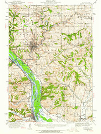
1911 Map of Galena
USGS Topo · Published 1959About this map
The Galena River valley and the surrounding lead-mining district are captured here in a period of intense industrial and maritime activity. The riverfront at Galena is the focal point, where the town's dense street grid meets the Galena River upstream from its confluence with the Mississippi River. The landscape is dotted with evidence of the region’s mineral wealth, including the Unity Mine near the Wisconsin border and the Royal Princess Mine further south. This network of extraction is supported by a complex rail system featuring the Chicago and North Western Ry and the Chicago Great Western RR. Along the river, several ferries including Gordons Ferry and Bellevue Ferry provide vital links between the Illinois and Iowa shores, while numerous rural schools like Furnace School and Rock College School indicate the distributed nature of the early 20th-century population outside the main settlements of Scales Mound and Bellevue.
Find a feature on this map
101 named features on this map. Tap any name to fly to it.
Don’t see what you’re looking for? This feature index may not catch every label — zoom into the map to look around manually.
Map Details
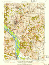
Editions of this 1911 Galena Map
3 editions found
Other maps of this area

1891 · Maquoketa
USGS Topo · 1:62,500

1892 · Savanna
USGS Topo · 1:62,500

1900 · Lancaster
USGS Topo · 1:125,000

1901 · Peosta
USGS Topo · 1:125,000

1902 · Mineral Point
USGS Topo · 1:125,000

1904 · Lancaster
USGS Topo · 1:125,000

1908 · Lancaster
USGS Topo · 1:125,000

1911 · Elizabeth
USGS Topo · 1:62,500

1911 · Galena
USGS Topo · 1:62,500

1913 · Galena
USGS Topo · 1:62,500