
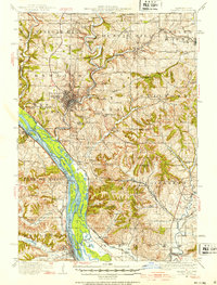
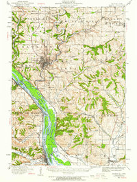
1911 Map of Galena
USGS Topo · Published 1953About this map
The lead-mining legacy of Jo Daviess County is strikingly visible in this early twentieth-century survey, which details the heavy concentration of shafts and schools throughout the driftless area. Galena serves as the focal point, connected to the industrial landscape by the Illinois Central and Chicago Great Western railroads. To the north and south, the terrain is dotted with significant operations including the Northwestern Mine and the Royal Princess Mine, while numerous rural schoolhouses like Vinegar Hill School and Rock College School reveal the density of the mining and farming population at the time.
Find a feature on this map
100 named features on this map. Tap any name to fly to it.
Don’t see what you’re looking for? This feature index may not catch every label — zoom into the map to look around manually.
Map Details
Editions of this 1911 Galena Map
3 editions found
Other maps of this area

1891 · Maquoketa
USGS Topo · 1:62,500

1892 · Savanna
USGS Topo · 1:62,500

1900 · Lancaster
USGS Topo · 1:125,000

1901 · Peosta
USGS Topo · 1:125,000

1902 · Mineral Point
USGS Topo · 1:125,000

1904 · Lancaster
USGS Topo · 1:125,000

1908 · Lancaster
USGS Topo · 1:125,000

1911 · Elizabeth
USGS Topo · 1:62,500

1913 · Galena
USGS Topo · 1:62,500

1935 · East Dubuque
USGS Topo · 1:62,500