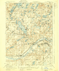
1918 Map of Galesburg
USGS Topo · Published 1930About this map
Camp Custer dominates the eastern landscape along the Kalamazoo River, its sprawling military footprint established just as this survey was conducted during the Great War. The region is characterized by a dense concentration of glacial kettle lakes, with Gull Lake serving as a central hub for lakeside communities like Highland Park and Yorkville. The transportation infrastructure of the early twentieth century is clearly visible, featuring the Michigan Central RR and the Michigan Central Electric RR threading through Galesburg and Augusta. Numerous rural schoolhouses, such as Toad Hollow School and Bannell School, are scattered across the townships of Richland and Ross, providing a detailed look at the social geography of southwest Michigan before the consolidation of rural districts.
Find a feature on this map
112 named features on this map. Tap any name to fly to it.
Don’t see what you’re looking for? This feature index may not catch every label — zoom into the map to look around manually.
Map Details
Editions of this 1918 Galesburg Map
5 editions found
Other maps of this area

1916 · Kalamazoo
USGS Topo · 1:62,500

1918 · Kalamazoo
USGS Topo · 1:62,500

1918 · Battle Creek
USGS Topo · 1:62,500

1918 · Union City
USGS Topo · 1:62,500

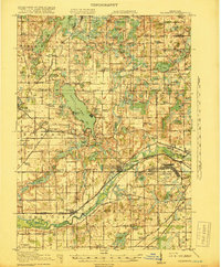
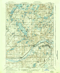
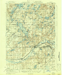
1918 · Galesburg
USGS Topo · 1:62,500

1918 · Leonidas
USGS Topo · 1:62,500

1922 · Schoolcraft
USGS Topo · 1:62,500

1943 · Battle Creek
USGS Topo · 1:62,500

1943 · Kalamazoo
USGS Topo · 1:62,500

1943 · Schoolcraft
USGS Topo · 1:62,500