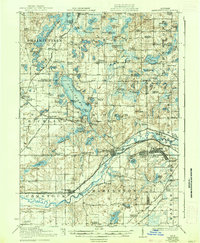
1918 Map of Galesburg
USGS Topo · Published 1937About this map
Gull Lake dominates the center of this landscape, its western shores featuring Highland Park and Island Park during a time of significant transition between rural agriculture and industrial development. To the south, the Kalamazoo River serves as a vital corridor, flanked by the Michigan Central RR and the Chicago and Kalamazoo Electric RR, which connect the primary settlements of Galesburg and Augusta. This transportation network supported both the local economy and the massive military presence at Camp Custer in the southeastern corner of the quadrangle.
Find a feature on this map
120 named features on this map. Tap any name to fly to it.
Don’t see what you’re looking for? This feature index may not catch every label — zoom into the map to look around manually.
Map Details
Editions of this 1918 Galesburg Map
5 editions found
Other maps of this area

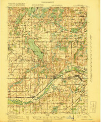
1916 · Kalamazoo
USGS Topo · 1:62,500

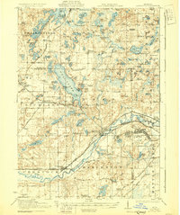
1918 · Kalamazoo
USGS Topo · 1:62,500

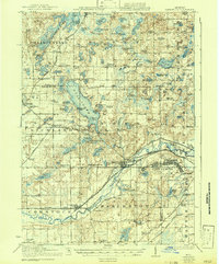
1918 · Battle Creek
USGS Topo · 1:62,500

1918 · Union City
USGS Topo · 1:62,500

1918 · Galesburg
USGS Topo · 1:62,500

1918 · Leonidas
USGS Topo · 1:62,500

1922 · Schoolcraft
USGS Topo · 1:62,500

1943 · Battle Creek
USGS Topo · 1:62,500

1943 · Kalamazoo
USGS Topo · 1:62,500

1943 · Schoolcraft
USGS Topo · 1:62,500