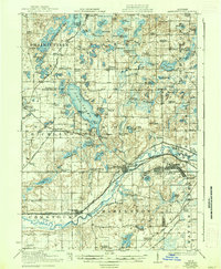
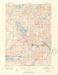
1918 Map of Galesburg
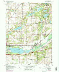
USGS Topo · Published 1942About this map
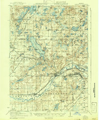
Gull Lake serves as a focal point for this region of south-central Michigan, its shores dotted with early 20th-century resort communities like Midland Park, Highland Park, and Island Park. To the south, the sprawling grounds of Camp Custer dominate the landscape near the Kalamazoo and Calhoun county line, reflecting the area's mobilization during the Great War era. The transportation network is defined by the Michigan Central railroad and the Electric line, which connect the established centers of Galesburg and Augusta.
Find a feature on this map
123 named features on this map. Tap any name to fly to it.
Don’t see what you’re looking for? This feature index may not catch every label — zoom into the map to look around manually.
Map Details
Editions of this 1918 Galesburg Map
5 editions found
Historical Maps of Battle Creek Through Time
11 maps found
1918 Galesburg
Kalamazoo County, MI
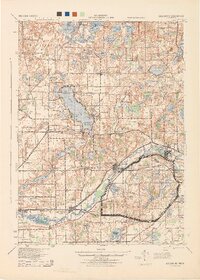
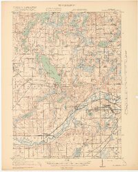
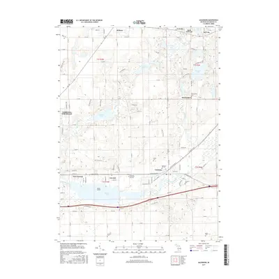
1944 Galesburg
Kalamazoo County, MI
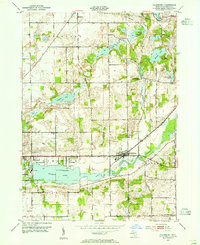
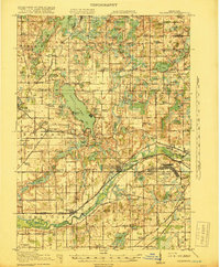
1947 Galesburg
Kalamazoo County, MI
1947 Galesburg
Kalamazoo County, MI
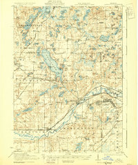
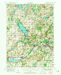
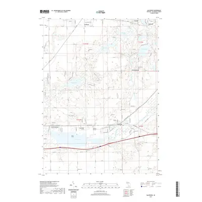
1950 Galesburg
Kalamazoo County, MI
1961 Galesburg
Kalamazoo County, MI
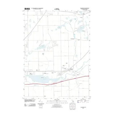
2011 Galesburg
Kalamazoo County, MI
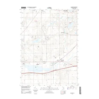
2014 Galesburg
Kalamazoo County, MI
2017 Galesburg
Kalamazoo County, MI
2019 Galesburg
Kalamazoo County, MI
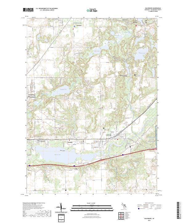
2023 Galesburg
Kalamazoo County, MI