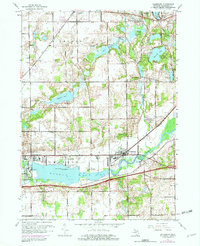
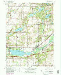
1961 Map of Galesburg
USGS Topo · Published 1982About this map
The Kalamazoo River valley defines the industrial and natural landscape of this area, as seen in the early 1960s with revisions through the early 1970s. The river is dominated by the broad expanse of Morrow Lake, which sits alongside the settlement of East Comstock and the Powerplant. Cultural and historical layers are evident in the proximity of ancient Indian Mounds on Rowe Island to the modern institutional presence of the County Infirmary.
Find a feature on this map
39 named features on this map. Tap any name to fly to it.
Don’t see what you’re looking for? This feature index may not catch every label — zoom into the map to look around manually.
Map Details
Editions of this 1961 Galesburg Map
5 editions found
Other maps of this area

1916 · Kalamazoo
USGS Topo · 1:62,500

1918 · Kalamazoo
USGS Topo · 1:62,500

1918 · Galesburg
USGS Topo · 1:62,500

1918 · Leonidas
USGS Topo · 1:62,500

1922 · Schoolcraft
USGS Topo · 1:62,500

1943 · Kalamazoo
USGS Topo · 1:62,500

1943 · Schoolcraft
USGS Topo · 1:62,500

1944 · Leonidas
USGS Topo · 1:62,500

1944 · Galesburg
USGS Topo · 1:62,500

1947 · Augusta
USGS Topo · 1:24,000