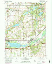
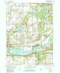
1961 Map of Galesburg
USGS Topo · Published 1985About this map
The Kalamazoo River valley anchors this mid-century look at Michigan's interior, where the industrial expansion of Galesburg and East Comstock meets a landscape defined by glacial lakes. The presence of Indian Mounds near Morrow Lake provides a tangible link to much earlier inhabitants, while the development of the Custer Reserve Forces Training Site and Fort Custer State Recreation Area shows the 20th-century transition of the land toward military and public use.
Find a feature on this map
39 named features on this map. Tap any name to fly to it.
Don’t see what you’re looking for? This feature index may not catch every label — zoom into the map to look around manually.
Map Details
Editions of this 1961 Galesburg Map
5 editions found
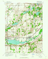
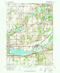
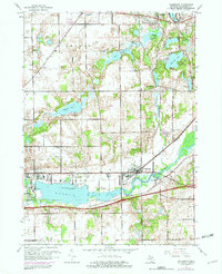
Other maps of this area

1916 · Kalamazoo
USGS Topo · 1:62,500

1918 · Kalamazoo
USGS Topo · 1:62,500

1918 · Galesburg
USGS Topo · 1:62,500

1918 · Leonidas
USGS Topo · 1:62,500

1922 · Schoolcraft
USGS Topo · 1:62,500

1943 · Kalamazoo
USGS Topo · 1:62,500

1943 · Schoolcraft
USGS Topo · 1:62,500

1944 · Leonidas
USGS Topo · 1:62,500

1944 · Galesburg
USGS Topo · 1:62,500

1947 · Augusta
USGS Topo · 1:24,000