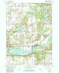
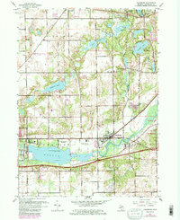
1961 Map of Galesburg
USGS Topo · Published 1985About this map
Kalamazoo River dominates the central geography of this mid-century Michigan landscape, serving as the backdrop for the established river town of Galesburg. The river expands significantly into Morrow Lake at the western edge, where Rowe Island and ancient Indian Mounds are documented near the Powerplant. This survey reflects a period of military and recreational land use, prominently featuring the Fort Custer State Recreation Area and the Custer Reserve Forces Training Site along the eastern corridor.
Find a feature on this map
37 named features on this map. Tap any name to fly to it.
Don’t see what you’re looking for? This feature index may not catch every label — zoom into the map to look around manually.
Map Details
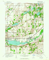
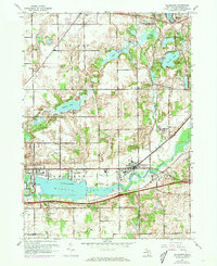
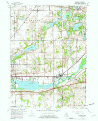
Editions of this 1961 Galesburg Map
5 editions found
Other maps of this area

1916 · Kalamazoo
USGS Topo · 1:62,500

1918 · Kalamazoo
USGS Topo · 1:62,500

1918 · Galesburg
USGS Topo · 1:62,500

1918 · Leonidas
USGS Topo · 1:62,500

1922 · Schoolcraft
USGS Topo · 1:62,500

1943 · Kalamazoo
USGS Topo · 1:62,500

1943 · Schoolcraft
USGS Topo · 1:62,500

1944 · Leonidas
USGS Topo · 1:62,500

1944 · Galesburg
USGS Topo · 1:62,500

1947 · Augusta
USGS Topo · 1:24,000