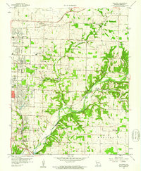
1960 Map of Galloway
USGS Topo · Published 1961About this map
The St Louis San Francisco railroad cuts a diagonal path through this landscape, connecting the growing eastern edge of Springfield to the community of Galloway and the small station at Turners (Turner Sta). The terrain is defined by the winding course of the James River and its tributaries, including Pearson Creek and Turners Creek, which carve through the limestone topography. Local infrastructure from the era includes the Downtown Airport and several industrial sites, such as the Mines and Quarry near Sequiota.
Find a feature on this map
56 named features on this map. Tap any name to fly to it.
Don’t see what you’re looking for? This feature index may not catch every label — zoom into the map to look around manually.
Map Details
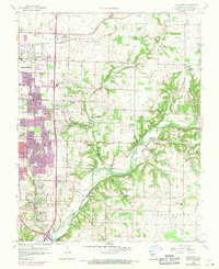
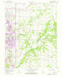
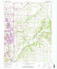
Editions of this 1960 Galloway Map
4 editions found
Other maps of this area

1884 · Springfield
USGS Topo · 1:125,000

1886 · Springfield
USGS Topo · 1:125,000

1935 · Springfield
USGS Topo · 1:24,000

1937 · Galloway
USGS Topo · 1:24,000

1937 · Ozark
USGS Topo · 1:48,000

1943 · Ozark
USGS Topo · 1:62,500

1945 · Ozark
USGS Topo · 1:62,500

1946 · Bassville
USGS Topo · 1:24,000

1947 · Strafford
USGS Topo · 1:62,500

1948 · Bassville
USGS Topo · 1:24,000