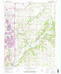
1960 Map of Galloway
USGS Topo · Published 1976About this map
The eastern edges of Springfield meet the rural expanses of Greene County in this mid-century look at southwest Missouri. The landscape is a transition from urban grids along Division Street and Sunshine Drive to the winding course of the James River and Pearson Creek. Substantial development is evident near the Hickory Hills Country Club, while the surrounding townships of North Campbell, Taylor, and Washington retain a traditional rural character defined by a high density of country churches and family cemeteries.
Find a feature on this map
55 named features on this map. Tap any name to fly to it.
Don’t see what you’re looking for? This feature index may not catch every label — zoom into the map to look around manually.
Map Details
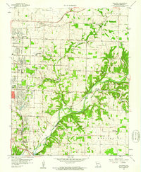
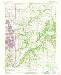
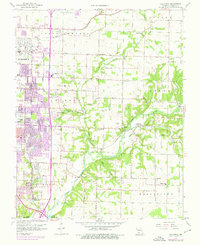
Editions of this 1960 Galloway Map
4 editions found
Other maps of this area

1884 · Springfield
USGS Topo · 1:125,000

1886 · Springfield
USGS Topo · 1:125,000

1935 · Springfield
USGS Topo · 1:24,000

1937 · Galloway
USGS Topo · 1:24,000

1937 · Ozark
USGS Topo · 1:48,000

1943 · Ozark
USGS Topo · 1:62,500

1945 · Ozark
USGS Topo · 1:62,500

1946 · Bassville
USGS Topo · 1:24,000

1947 · Strafford
USGS Topo · 1:62,500

1948 · Bassville
USGS Topo · 1:24,000