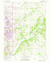
1960 Map of Galloway
USGS Topo · Published 1975About this map
Springfield expands eastward during the mid-20th century, with significant residential and industrial growth shown through purple revision overlays. The southeastern periphery of the city is defined by major thoroughfares such as Sunshine Drive and Battlefield Road, while the St Louis - San Francisco railroad cuts through the landscape. The rural-to-urban transition is marked by a high concentration of community landmarks, including local schools like Shady Dell Sch and Glendale High Sch, and numerous family cemeteries such as Bodenhamer Cem and Webb Cem. The area around the James River reveals a landscape of limestone extraction and water management, evidenced by the Pumping Station and several Mines. Beyond the city limits, the landscape retains its agricultural character in townships like Jackson and Taylor, where older settlements like Galloway and Turners (Turner Sta) serve as points of local history along the river and rail lines.
Find a feature on this map
62 named features on this map. Tap any name to fly to it.
Don’t see what you’re looking for? This feature index may not catch every label — zoom into the map to look around manually.
Map Details
Editions of this 1960 Galloway Map
4 editions found
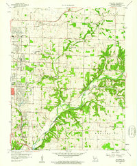
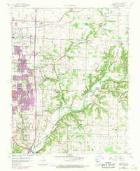
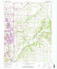
Other maps of this area

1884 · Springfield
USGS Topo · 1:125,000

1886 · Springfield
USGS Topo · 1:125,000

1935 · Springfield
USGS Topo · 1:24,000

1937 · Galloway
USGS Topo · 1:24,000

1937 · Ozark
USGS Topo · 1:48,000

1943 · Ozark
USGS Topo · 1:62,500

1945 · Ozark
USGS Topo · 1:62,500

1946 · Bassville
USGS Topo · 1:24,000

1947 · Strafford
USGS Topo · 1:62,500

1948 · Bassville
USGS Topo · 1:24,000