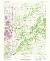
1960 Map of Galloway
USGS Topo · Published 1971About this map
The eastern edges of Springfield and the community of Galloway meet the rolling Ozark terrain where the James River and Pearson Creek converge. This 1960s era landscape reflects a city in transition, showing the early suburban development along Sunshine Drive and Battlefield Road alongside the established rural character of North Campbell and Taylor townships. The influence of the St Louis San Francisco railroad is evident, shaping the industrial and residential corridors of the region.
Find a feature on this map
67 named features on this map. Tap any name to fly to it.
Don’t see what you’re looking for? This feature index may not catch every label — zoom into the map to look around manually.
Map Details
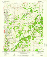
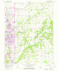
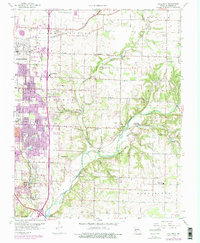
Editions of this 1960 Galloway Map
4 editions found
Other maps of this area

1884 · Springfield
USGS Topo · 1:125,000

1886 · Springfield
USGS Topo · 1:125,000

1935 · Springfield
USGS Topo · 1:24,000

1937 · Galloway
USGS Topo · 1:24,000

1937 · Ozark
USGS Topo · 1:48,000

1943 · Ozark
USGS Topo · 1:62,500

1945 · Ozark
USGS Topo · 1:62,500

1946 · Bassville
USGS Topo · 1:24,000

1947 · Strafford
USGS Topo · 1:62,500

1948 · Bassville
USGS Topo · 1:24,000