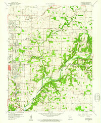
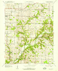
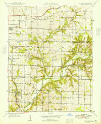
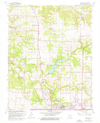
1960 Map of Galloway
USGS Topo · Published 1961This historical map portrays the area of Galloway in 1960, primarily covering Greene County. Featuring a scale of 1:24000, this map provides a highly detailed snapshot of the terrain, roads, buildings, counties, and historical landmarks in the Galloway region at the time. Published in 1961, it is one of 4 known editions of this map due to revisions or reprints.
Find a feature on this map
56 named features on this map. Tap any name to fly to it.
Don’t see what you’re looking for? This feature index may not catch every label — zoom into the map to look around manually.
Map Details
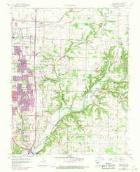
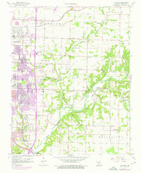
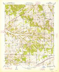
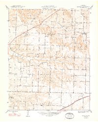
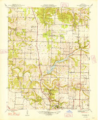
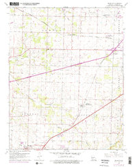
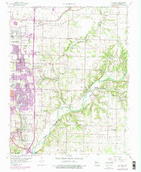
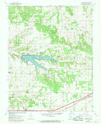
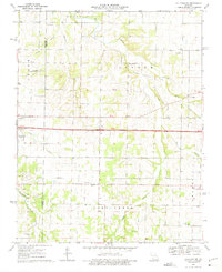
Editions of this 1960 Galloway Map
4 editions found
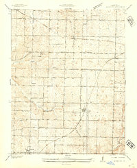
Historical Maps of Expansion Through Time
12 maps found
1936 Brookline
Greene County, MO
1937 Galloway
Greene County, MO
1946 Bassville
Greene County, MO
1948 Bassville
Greene County, MO
1948 Ebenezer
Greene County, MO
1948 Galloway
Greene County, MO
1960 Brookline
Greene County, MO
1960 Galloway
Greene County, MO
1961 Bassville
Greene County, MO
1961 Ebenezer
Greene County, MO
1969 Halltown NE
Greene County, MO
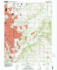
1996 Galloway
Greene County, MO