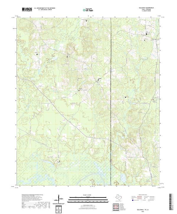
2022 Map of Galloway
USGS Topo · Published 2022About this map
The Sabine River defines the southern boundary of this landscape where the Texas and Louisiana state line meets at Panola County and De Soto Parish. This terrain is deeply marked by local family history, with a high concentration of small burial grounds such as Hogeye Cem, Holmes Family Cem, and Reeves McMillan Cem scattered throughout the woodlands. The small community of Logan sits near the center, surrounded by a complex network of creeks including Socagee Cr and Mill Cr.
Find a feature on this map
67 named features on this map. Tap any name to fly to it.
Don’t see what you’re looking for? This feature index may not catch every label — zoom into the map to look around manually.
Map Details
Editions of this 2022 Galloway Map
This is the sole edition of this map. No revisions or reprints were ever made.
Other maps of this area

1944 · Logansport
USGS Topo · 1:62,500

1945 · Grand Cane
USGS Topo · 1:62,500

1945 · Socagee Bayou
USGS Topo · 1:62,500

1953 · Alexandria
USGS Topo · 1:250,000

1953 · Palestine
USGS Topo · 1:250,000

1955 · Shreveport
USGS Topo · 1:250,000

1955 · Alexandria
USGS Topo · 1:250,000

1956 · Shreveport
USGS Topo · 1:250,000

1956 · Tyler
USGS Topo · 1:250,000

1956 · Logansport
USGS Topo · 1:62,500