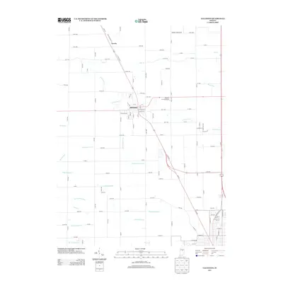
2013 Map of Galveston
USGS Topo · Published 2013About this map
The town of Galveston serves as the central hub for this agricultural portion of northern Indiana, where a complex network of drainage infrastructure has shaped the productive landscape. Numerous named waterways like the Manson Kingery Ditch and Henry Gilbert Ditch reflect the historical engineering required to manage the wetlands surrounding the S Fork Deer Cr. To the north, the community of Lincoln sits along the rail line, while residential growth is evident near Brookside and the southern edge of the quadrangle. Aviation history is quietly preserved here through local facilities such as Caldwell Field Airport and Rockey's Air Strip Airport. The map traces the transition from the town's core at Main St to the sprawling farms defined by family-named ditches like Charles Templeton Ditch and McKay Dredge Ditch.
Find a feature on this map
108 named features on this map. Tap any name to fly to it.
Don’t see what you’re looking for? This feature index may not catch every label — zoom into the map to look around manually.
Map Details
Editions of this 2013 Galveston Map
This is the sole edition of this map. No revisions or reprints were ever made.
Other maps of this area

1951 · Onward
USGS Topo · 1:24,000

1951 · Bunker Hill
USGS Topo · 1:24,000

1953 · Danville
USGS Topo · 1:250,000

1955 · Danville
USGS Topo · 1:250,000

1955 · Anoka
USGS Topo · 1:24,000

1956 · Danville
USGS Topo · 1:250,000

1959 · Galveston
USGS Topo · 1:24,000

1959 · Miami
USGS Topo · 1:24,000

1959 · Young America
USGS Topo · 1:24,000

1960 · Kokomo West
USGS Topo · 1:24,000