
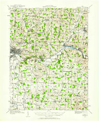
1912 Map of Gambier
USGS Topo · Published 1958About this map
Kenyon College dominates the central village of Gambier, where the ridge-top campus overlooks the winding Kokosing River. This pre-World War I landscape reveals a dense network of one-room schoolhouses such as Cherry Hall School and Coon Hill School serving a deeply rural population. To the west, the growing industrial hub of Mount Vernon is established as a rail junction, while the nearby State Tuberculosis Hospital stands as a significant regional landmark on the outskirts of town.
Find a feature on this map
103 named features on this map. Tap any name to fly to it.
Don’t see what you’re looking for? This feature index may not catch every label — zoom into the map to look around manually.
Map Details
Editions of this 1912 Gambier Map
2 editions found
Other maps of this area

1908 · Granville
USGS Topo · 1:62,500

1909 · Newark
USGS Topo · 1:62,500

1910 · Frazeysburg
USGS Topo · 1:62,500

1910 · Granville
USGS Topo · 1:62,500

1912 · Loudonville
USGS Topo · 1:62,500

1912 · Perrysville
USGS Topo · 1:62,500

1913 · Brinkhaven
USGS Topo · 1:62,500

1914 · Gambier
USGS Topo · 1:62,500

1914 · Loudonville
USGS Topo · 1:62,500

1915 · Brinkhaven
USGS Topo · 1:62,500