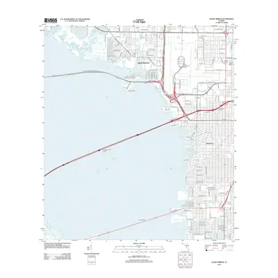
2012 Map of Gandy Bridge
USGS Topo · Published 2012About this map
Old Tampa Bay dominates this coastal survey, where the major causeways and bridges connect the urban centers of the Florida gulf coast. The landscape is characterized by the intricate relationship between residential developments and tidal waters, seen in the finger canals of Minneola and the coastal marshes near Cabbagehead Bayou. Major infrastructure projects are prominent, including the sprawling grounds of Tampa International Airport and the athletic complexes of Raymond James Stadium and Houlihan Stadium.
Find a feature on this map
71 named features on this map. Tap any name to fly to it.
Don’t see what you’re looking for? This feature index may not catch every label — zoom into the map to look around manually.
Map Details
Editions of this 2012 Gandy Bridge Map
This is the sole edition of this map. No revisions or reprints were ever made.
Other maps of this area

1921 · Tampa
USGS Topo · 1:62,500

1921 · St Petersburg
USGS Topo · 1:62,500

1943 · St Petersburg
USGS Topo · 1:31,680

1943 · Gandy Bridge
USGS Topo · 1:31,680

1943 · Safety Harbor
USGS Topo · 1:31,680

1943 · Port Tampa
USGS Topo · 1:31,680

1943 · Oldsmar
USGS Topo · 1:24,000

1944 · Sulphur Springs
USGS Topo · 1:31,680

1944 · Tampa
USGS Topo · 1:31,680

1944 · Oldsmar
USGS Topo · 1:31,680