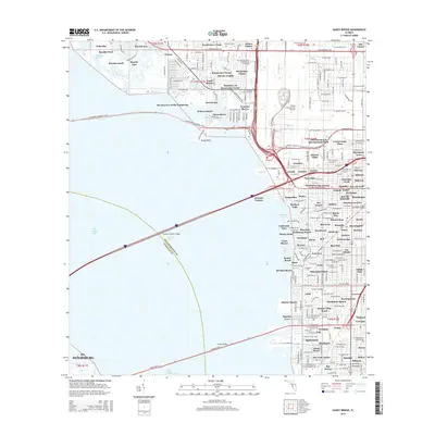
2015 Map of Gandy Bridge
USGS Topo · Published 2015About this map
Tampa International Airport dominates the eastern landscape of this coastal survey, where the urban grid of Tampa meets the waters of Old Tampa Bay. The western shore is defined by residential developments and inlets including Palm Bay and Bayside Key, while the central portion is characterized by a complex network of residential canals and bridges. Major transportation arteries like the Howard Franklin Bridge and the Courtney Campbell Causeway span the bay, illustrating the connectivity between Hillsborough and Pinellas Counties. Localized residential life is evident in the numerous named subdivisions such as Dana Shores, Venetian Shores, and Sweetwater Creek. This document captures the intensive coastal development and modern infrastructure of the region, from the commercial hubs at Cornerstone Plaza to the quiet reaches of Dick Creek.
Find a feature on this map
123 named features on this map. Tap any name to fly to it.
Don’t see what you’re looking for? This feature index may not catch every label — zoom into the map to look around manually.
Map Details
Editions of this 2015 Gandy Bridge Map
This is the sole edition of this map. No revisions or reprints were ever made.
Other maps of this area

1921 · Tampa
USGS Topo · 1:62,500

1921 · St Petersburg
USGS Topo · 1:62,500

1943 · St Petersburg
USGS Topo · 1:31,680

1943 · Gandy Bridge
USGS Topo · 1:31,680

1943 · Safety Harbor
USGS Topo · 1:31,680

1943 · Port Tampa
USGS Topo · 1:31,680

1943 · Oldsmar
USGS Topo · 1:24,000

1944 · Sulphur Springs
USGS Topo · 1:31,680

1944 · Tampa
USGS Topo · 1:31,680

1944 · Oldsmar
USGS Topo · 1:31,680