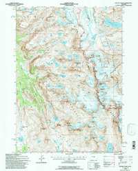
1991 Map of Gannett Peak
USGS Topo · Published 1997About this map
Gannett Peak stands as the apex of this high-alpine study, marking the point where the Continental Divide splits the flow of water across the Wind River Range. The 1991 field check documents a landscape defined by massive ice fields and permanent snow, including the Mammoth Glacier, Dinwoody Glacier, and Sourdough Glacier. This environment is carved by the deep glacial troughs of Three Forks Park and dotted with remote tarns like Peak Lake and the Golden Lakes.
Find a feature on this map
83 named features on this map. Tap any name to fly to it.
Don’t see what you’re looking for? This feature index may not catch every label — zoom into the map to look around manually.
Map Details
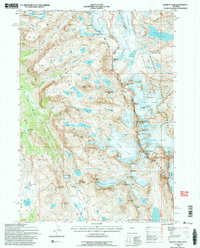
Editions of this 1991 Gannett Peak Map
2 editions found
Other maps of this area

1909 · Fremont Peak
USGS Topo · 1:125,000

1955 · Thermopolis
USGS Topo · 1:250,000

1958 · Thermopolis
USGS Topo · 1:250,000

1962 · Thermopolis
USGS Topo · 1:250,000
1968 · Ink Wells
USGS Topo · 1:24,000

1968 · Fremont Peak North
USGS Topo · 1:24,000
1968 · Gannett Peak
USGS Topo · 1:24,000
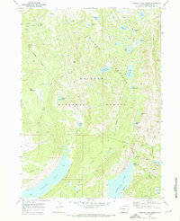
1968 · Fremont Lake North
USGS Topo · 1:24,000
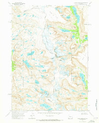
1968 · Downs Mountain
USGS Topo · 1:24,000
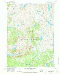
1968 · Bridger Lakes
USGS Topo · 1:24,000