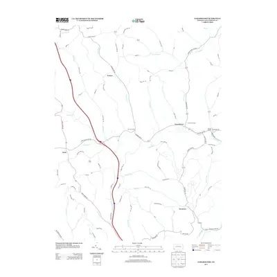
2013 Map of Garards Fort
USGS Topo · Published 2013About this map
Garards Fort and the surrounding rural landscape of Greene County are defined by a network of creeks and coal infrastructure. The map illustrates the dominance of Whiteley Cr and its tributaries, including Frosty Run and Dutch Run, which carve through the terrain near Rocky Ridge. Mining heritage is evident through several industrial sites, most notably the Garards Fort Shaft, Kirby Shaft, and Frosty Run Shaft, reflecting the area's sub-surface economic activity.
Find a feature on this map
91 named features on this map. Tap any name to fly to it.
Don’t see what you’re looking for? This feature index may not catch every label — zoom into the map to look around manually.
Map Details
Editions of this 2013 Garards Fort Map
This is the sole edition of this map. No revisions or reprints were ever made.
Other maps of this area

1900 · Masontown
USGS Topo · 1:62,500

1901 · Waynesburg
USGS Topo · 1:62,500

1902 · Morgantown
USGS Topo · 1:62,500

1903 · Masontown
USGS Topo · 1:62,500

1904 · Blacksville
USGS Topo · 1:62,500

1904 · Waynesburg
USGS Topo · 1:62,500

1923 · Blacksville
USGS Topo · 1:62,500

1925 · Blacksville
USGS Topo · 1:62,500

1925 · Morgantown
USGS Topo · 1:62,500

1931 · Masontown
USGS Topo · 1:62,500