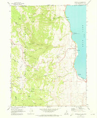
1969 Map of Garden City
USGS Topo · Published 1973About this map
Bear Lake dominates the eastern margin of this landscape, where the settlements of Garden City, Pickelville, and Lakota line the shoreline just before the Utah-Idaho border. The 1969 survey captures this lakeside corridor during a period of established recreation, featuring the Bear Lake State Recreation Area and Camp Hunt. To the west, the terrain rises sharply into the Cache National Forest, a region defined by complex drainage systems like Garden City Canyon and Hodges Canyon. Significant local landmarks like the Old Limber Pine and the Garden City Cem provide specific points of interest for genealogists and local historians. The map also reveals the industrial and utility infrastructure of the era, including a Powerplant near Swan Creek and a Gravel Pit near the lake, illustrating how the local economy balanced natural resource extraction with growing lakeside tourism.
Find a feature on this map
49 named features on this map. Tap any name to fly to it.
Don’t see what you’re looking for? This feature index may not catch every label — zoom into the map to look around manually.
Map Details
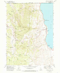
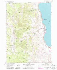
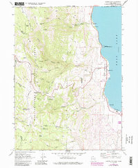
Editions of this 1969 Garden City Map
4 editions found
Other maps of this area

1909 · Montpelier
USGS Topo · 1:125,000

1911 · Montpelier
USGS Topo · 1:125,000

1912 · Randolph
USGS Topo · 1:125,000

1914 · Logan
USGS Topo · 1:125,000

1915 · Preston
USGS Topo · 1:96,000

1916 · Logan
USGS Topo · 1:125,000

1918 · Preston
USGS Topo · 1:125,000

1954 · Ogden
USGS Topo · 1:250,000

1955 · Preston
USGS Topo · 1:250,000

1958 · Ogden
USGS Topo · 1:250,000