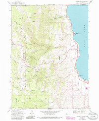
1969 Map of Garden City
USGS Topo · Published 1986About this map
The western shores of Bear Lake define this high-altitude landscape along the Idaho-Utah state line, where the lake's turquoise waters meet the steep slopes of the Wasatch-Cache National Forest. The map documents the lakeside settlements of Garden City, Pickelville, and Lakota during a period of transition, noting the established community at the Garden City Cemetery alongside emerging recreational areas like Ideal Beach. Away from the water, the terrain climbs sharply into the mountains, marked by a network of drainage systems including Garden City Canyon, Hodges Canyon, and Cheney Creek. This 1969 survey, with revisions into the mid-1980s, identifies unique landmarks such as the Old Limber Pine and the high pass at Bear Lake Summit, illustrating how the region's geography dictated both the early mountain trails and the concentrated development of the shoreline communities.
Find a feature on this map
48 named features on this map. Tap any name to fly to it.
Don’t see what you’re looking for? This feature index may not catch every label — zoom into the map to look around manually.
Map Details
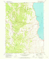
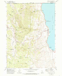
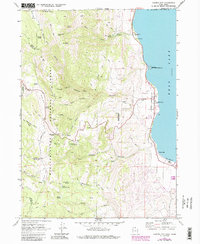
Editions of this 1969 Garden City Map
4 editions found
Other maps of this area

1909 · Montpelier
USGS Topo · 1:125,000

1911 · Montpelier
USGS Topo · 1:125,000

1912 · Randolph
USGS Topo · 1:125,000

1914 · Logan
USGS Topo · 1:125,000

1915 · Preston
USGS Topo · 1:96,000

1916 · Logan
USGS Topo · 1:125,000

1918 · Preston
USGS Topo · 1:125,000

1954 · Ogden
USGS Topo · 1:250,000

1955 · Preston
USGS Topo · 1:250,000

1958 · Ogden
USGS Topo · 1:250,000